Birmingham forecast shows 70-degree weekend before Thanksgiving cold snap
Residents should expect mild temperatures through the holiday weekend, followed by a drop into the 50s by Thanksgiving Day and potential rain systems next week.
By Lauren Foster ·
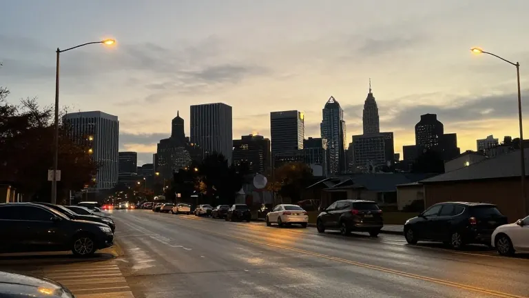
Temperatures in Birmingham reached the low 70s on Thursday, a sharp rise from the upper 40s and low 50s expected tonight. The shift marks the end of the recent cool spell as a frontal passage moves through the region. Residents are advised to prepare for partly to mostly cloudy skies Friday, with highs returning to the 70s. An east to northeast breeze of 5 to 10 miles per hour will persist through the evening and into Friday.
The timeline for the upcoming days includes a continued focus on moisture moving from South Alabama. While showers are currently tracked in that area, meteorologists noted a chance that a few showers could reach the Birmingham area late Friday night. If the system remains to the south, dry conditions will prevail, allowing for clear skies for local playoff football games. The weekend forecast indicates Saturday will be mostly sunny with highs in the 70s. A stray shower is possible in the early morning, but conditions are expected to be favorable for outdoor activities and holiday travel.
Sunday will remain dry with highs in the 70s, though clouds will increase late in the day. Isolated showers are possible late Sunday night. A strong low-pressure system is tracking northeast near the East Coast this weekend and into early next week. Meteorologists are monitoring this system for potential impacts on travel, as a tropical or subtropical storm may develop in that region. The local weather pattern becomes more active as several disturbances line up for the Thanksgiving week.
A new system is expected to impact the region on Wednesday. The greatest rain chances appear to be over South Alabama, though a chance for showers is included in the forecast for other areas. Forecasters stated that while the system has potential, they cannot yet promise heavy rainfall. Temperatures will slide after the front passes Sunday night. Highs are projected to be in the 60s for Monday and Tuesday. By Wednesday, as the southern system moves north, highs will drop into the 50s.
Thanksgiving Day is forecast to be dry, with highs in the 50s and lows in the mid to upper 30s. Another system is expected to cross the region by the end of next week. Guidance remains inconsistent regarding the amount of rain this system and the Wednesday disturbance will generate. Some data suggests higher rain amounts will stay to the south, but wet weather late next week could impact Iron Bowl Saturday. Forecasters noted that the current drought pattern and the active southern branch of the jet stream are making accurate predictions difficult. They are continuing to work for more definitive answers as more data becomes available.