70% rain chance expected in south Mississippi on Sunday
Meteorologist Sam Lucey says moisture will build through the weekend, peaking Sunday before a cold front arrives Wednesday night.
By Fatima Saleh ·
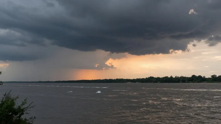
Sunday will be the wettest day of the upcoming weekend in south Mississippi, with a 70% chance of showers and thunderstorms. Meteorologist Sam Lucey notes that precipitation is most likely during the morning hours, while skies should turn partly sunny by the afternoon. High temperatures will reach the upper 70s.
Moisture begins arriving earlier in the week. Friday will feature a mix of clouds and sunshine with highs near 80 degrees. Winds will shift from the northeast to the southeast, and dew points will rise throughout the day. Saturday brings a 50% chance of scattered showers and possible thunderstorms, with highs also in the upper 70s. Rain chances increase to 60% Saturday night, with lows near 68 degrees.
The pattern reverses on Monday. Partly sunny skies return, and highs near 79 degrees are expected. Northeast winds will pick up to 10 to 15 mph. Temperatures hold steady through Wednesday, remaining in the upper 70s. A slight chance of showers appears Tuesday afternoon, followed by increasing rain chances Wednesday. South winds around 10 to 15 mph will accompany Wednesday’s showers and possible thunderstorms.
A cold front is set to move through Wednesday night. This system will cause a noticeable drop in temperatures. Overnight lows will fall into the middle 50s. Thursday will follow with sunny skies and afternoon highs in the middle 70s.
Source: WXXV 25