Black Hills split by freezing fog
Dense air mass keeps eastern foothills cool and cloudy while western slopes enjoy warmer, sunnier days.
By Lauren Foster ·
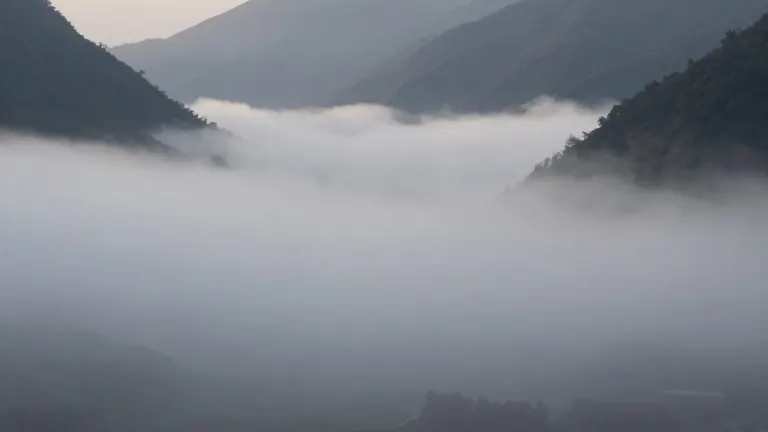
Rapid City meteorologists report that a dense, cool air mass remains pinned against the eastern slopes of the Black Hills. This weather pattern keeps temperatures in the 40s and 50s with low clouds and fog persisting for the coming days. In contrast, areas within the hills and westward are experiencing clearer skies and warmer conditions. Highs in those western zones have reached the 60s and even the low 70s today.
The weather situation began with low clouds slowly clearing to the east this afternoon. However, visibility dropped again this evening as fog returned to communities along the northern and eastern Black Hills foothills. The fog is expected to thicken further through the morning. Forecasters warn that patchy freezing fog is possible on the plains. Overnight lows are generally hovering in the 20s and 30s.
Residents on the east side of the hills should expect somewhat cool and cloudy conditions on Friday and Saturday. Breezy southeast winds will occur at times during this period. Meanwhile, areas west of the hills will remain sunnier and warmer throughout the weekend. A long-wave trough will approach by the weekend, shifting the aloft flow to a more westerly component. This shift will clear the atmosphere and initiate a warming trend.
The warming trend is scheduled to peak on Monday. Temperatures will then cool slightly on Tuesday. A colder air mass will slide in from the north with precipitation possible on the front end of the system. Meteorologists indicate this precipitation could be a mix of rain and snow. The colder air appears set to remain in place through next weekend.