Birmingham Weekend: First Freeze of Season Arrives
Lows will drop into the 20s north of the city, prompting a freeze watch from Friday night through Saturday morning.
By Samuel Hayes ·
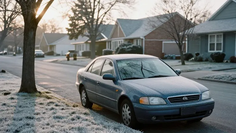
Residents in the Birmingham area should expect the season's first freeze this weekend. The National Weather Service has issued a Freeze Watch for Friday night into Saturday morning. Lows will reach the freezing range, with frost likely in many spots.
Drivers and those spending time outdoors should brace for gusty winds. Winds may reach speeds over 20 mph as temperatures fall into the 40s and 30s. Wind chills in some areas could drop into the 20s tomorrow morning. Friday itself will be chilly but sunny, with a northwest wind and high temperatures in the 50s.
Temperatures will plunge into the freezing range early Saturday as the winds die down. The northern parts of the forecast area will see lows in the 20s, while southern areas will hover near freezing. Saturday afternoon will offer a brief reprieve with highs in the 50s. However, the cold returns Sunday morning, with temperatures once again dipping into the freezing range.
The Weather Service advises people to check on pets and family members during this cold spell. Residents should also ensure heaters are working properly. The agency suggests protecting outdoor plants from the frost.
Looking ahead, a southern stream disturbance will bring more clouds and a chance for an isolated shower on Monday. The rain is more likely to fall to the south. The rest of next week appears dry. Highs will start in the 50s and gradually rise to the low 70s by Friday.
Forecasters are monitoring signals for a cold front and potential rain during Thanksgiving week, around November 23. This period typically sees heavy travel. Another surge of cold air may follow the holiday. Current patterns indicate that cold fronts are aligning for the coming weeks.